


5,3 km | 10,6 km-effort

Utilisateur


Application GPS de randonnée GRATUITE
 SityTrail
IGN / Instituts géographiques
SityTrail World
Le monde est à vous
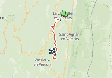
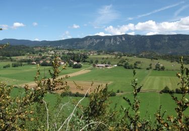
Randonnée Marche de 11,3 km à découvrir à Auvergne-Rhône-Alpes, Drôme, La Chapelle-en-Vercors. Cette randonnée est proposée par crocau.
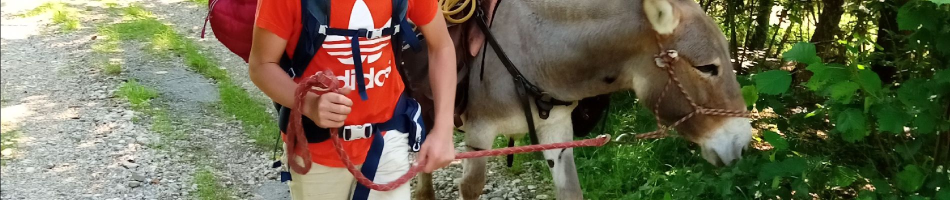
Depuis Ok Corr Anes à La Chapelle en Vercors , nous voilà partis pour Vassieux en Vercors juste en dessous de la Ferme du Pré
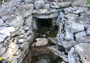
 - Photo 1")
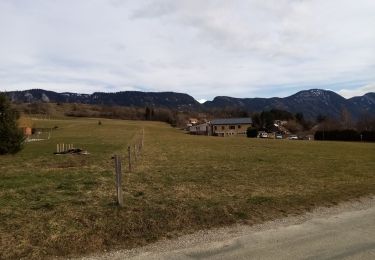
 - Photo 2")
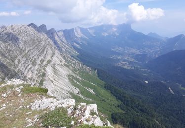
 - Photo 3")
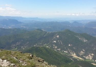
 - Photo 4")
 - Photo 5")
 - Photo 6")

Marche
Marche
Raquettes à neige

Marche
Marche
Marche
Marche
Marche
Marche